
- Working with spatial data
- Mapping disease burden
- Mapping service coverage
- Communicating spatial findings
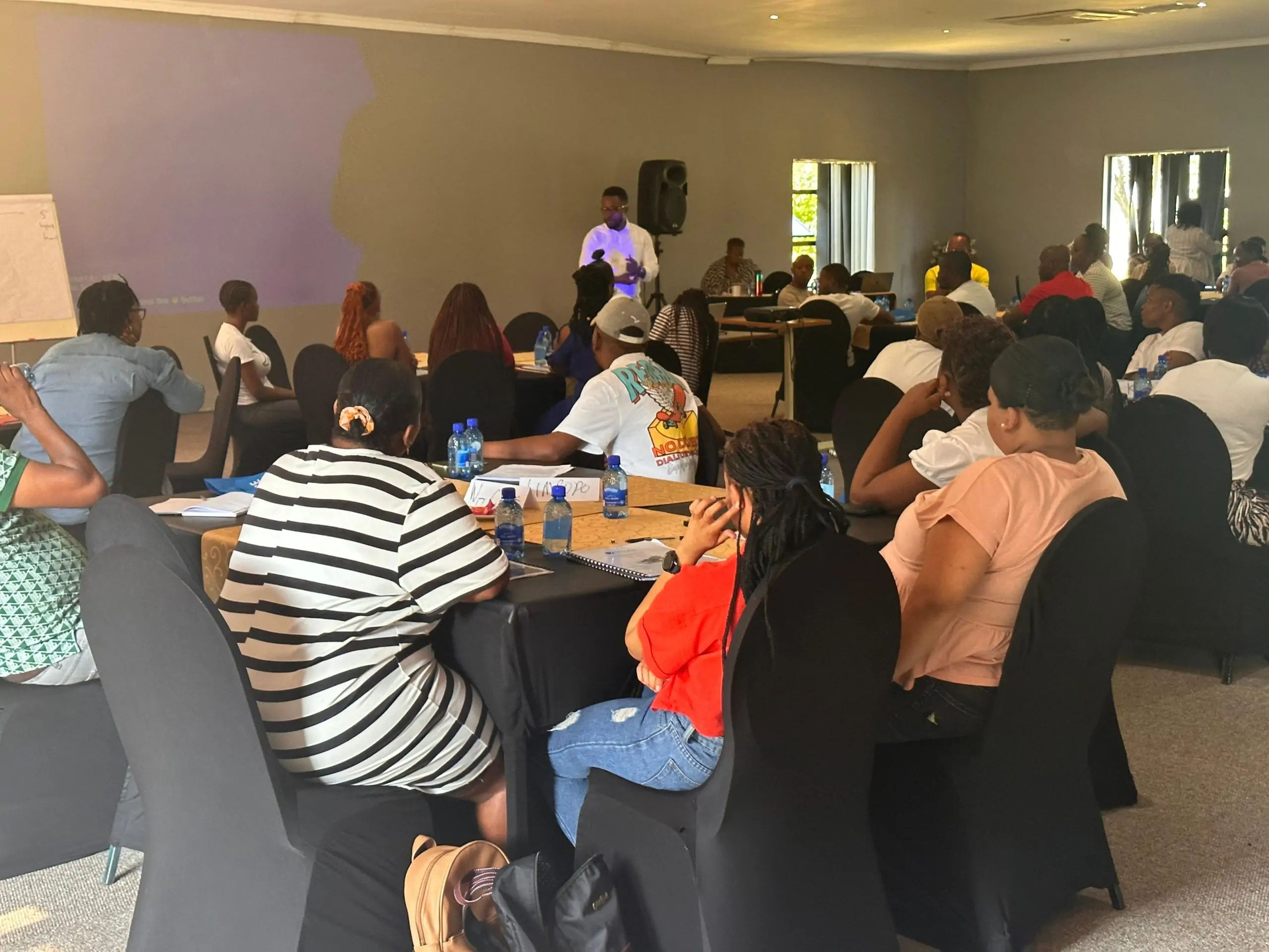
CESAR training
GIS for Health (QGIS)
Map health data in QGIS and communicate what the maps show.
Mapping health data with QGIS: working with spatial data, mapping disease burden and service coverage, and communicating spatial findings.
Next cohort
13 Nov – 1 Dec 2027
- Class days
- Wed, Sat, Sun
- Length
- 9 sessions, 18 hours
- Fee
- On request
Registration isn't open yet. Register your interest and we'll contact you first.
About the course
What this course covers
Mapping health data with QGIS: working with spatial data, mapping disease burden and service coverage, and communicating spatial findings.
What you'll produce
Produce a set of maps and a short spatial analysis brief on a health topic.
Course outline
What you'll cover
Testimonials
What participants say
“I have always wanted to become an excellent migration policy analyst, and I knew understanding data was the missing piece. This course helped me connect data analysis with policy and governance. I can now independently explore findings, identify patterns and contribute more meaningfully to evidence-based migration policy discussions.”
Osato Mary
Lawyer & Migration Policy Analyst
“Having worked in data management for about 10 years, I discovered that there were things I had been doing without fully understanding why. This course gave me a clearer understanding of inferential statistics. I also learned valuable teaching techniques, particularly the importance of engaging students and respecting their time.”
Akande Yusuf
Data Manager & Researcher
“Before this course, I knew what data was but didn’t understand data analysis or how relevant it was to my work. I now see how it can help me organise information, interpret findings, track the impact of my interventions, improve my programmes and make better decisions in mental health and adolescent counselling.”
Eunice Chinedu-Nwigwe
Mental Health Educator
“I particularly appreciate the teaching method and the respect shown to every participant. I know I still have more to learn, but I now have the confidence and foundation to keep practising.”
Amarachi Uzoechina
MPH Candidate
Register your interest
Tell us you're interested
Registration for this course isn't open yet. Tell us how you'd like to learn and we'll contact you with dates, delivery format and fees.
Register your interest
GIS for Health (QGIS). Fields marked * are required.
Course details
- Dates
- 13 Nov – 1 Dec 2027
- Class days
- Wed, Sat, Sun
- Length
- 9 sessions, 18 hours
- Fee
- On request
FAQ
Frequently asked questions
1.When does the next cohort start?
The next cohort is scheduled to start on 13 Nov 2027. Register your interest and we'll confirm the dates, time and fee with you once registration opens.
2.What happens after I register my interest?
We'll contact you by email, phone or WhatsApp with the dates, delivery format and fee. Registering your interest doesn't commit you to anything.
3.Can my organisation book this course for its staff?
Yes. Contact CESAR to discuss your objectives, preferred delivery format and training needs, and we'll tailor the course to your team.
Interested in this course?
Register your interest and hear first when the next cohort opens.
Register Your Interest